Evaluating the Effects of Adaptation Strategies on Ocracoke Island
Photo © National Park Service
The overall goal of this project is to implement a co-production process that results in science-based assessments that can be used to inform decision-making as Cape Hatteras National Seashore, North Carolina Department of Transportation, Hyde County and the Village of Ocracoke work to address transportation and resource management related challenges along the east end of Ocracoke Island as well as access to and from Hatteras Island.
An information session to provide an overview of the project, review the modeling results and solicit feedback from the public was held on September 10, 2024, at the Ocracoke Community Center. A recording of the meeting can be viewed here: www.facebook.com/HydeCountyNC/videos/24939372018992941
There is a need to develop new ways for communities and stakeholders to evaluate the effects of near-term decisions on long-term community and ecosystem resilience. This is critical because decisions made to solve problems in the short-term can be unintentionally counter-productive in the long-term, producing outcomes that can inadvertently limit the habitability of coastal landscapes.
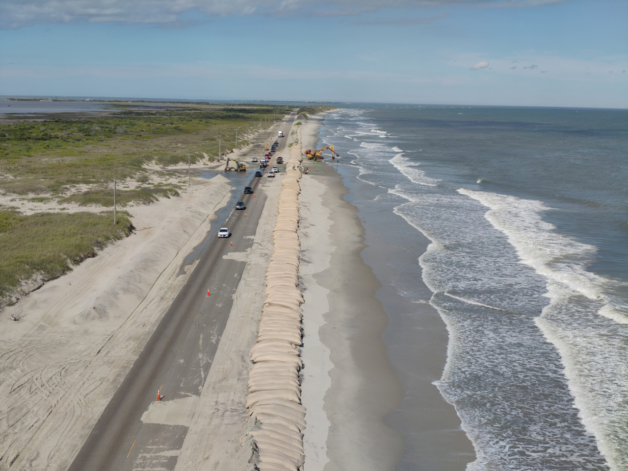
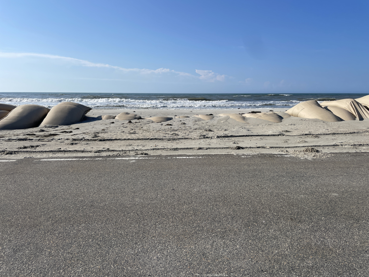
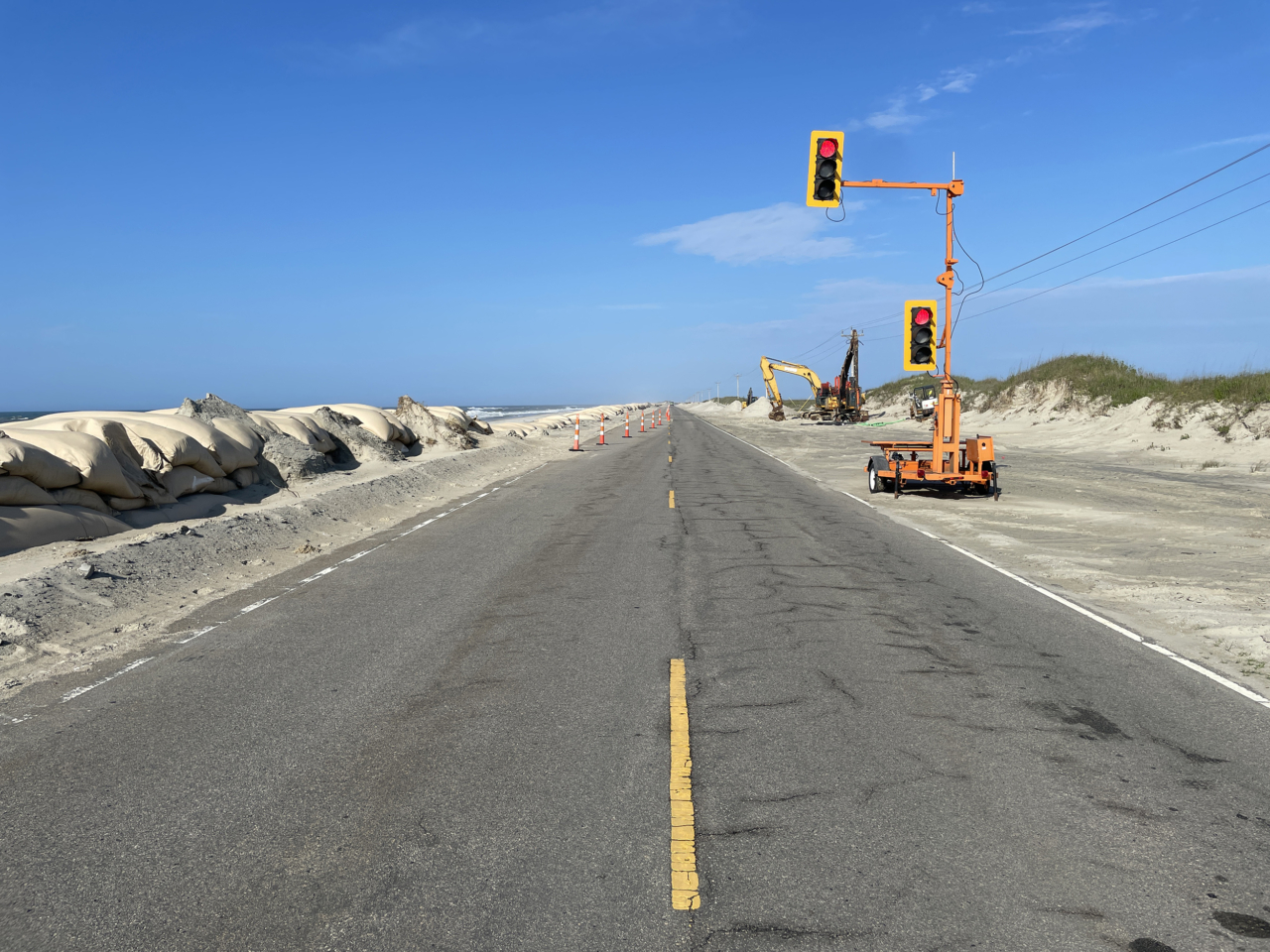
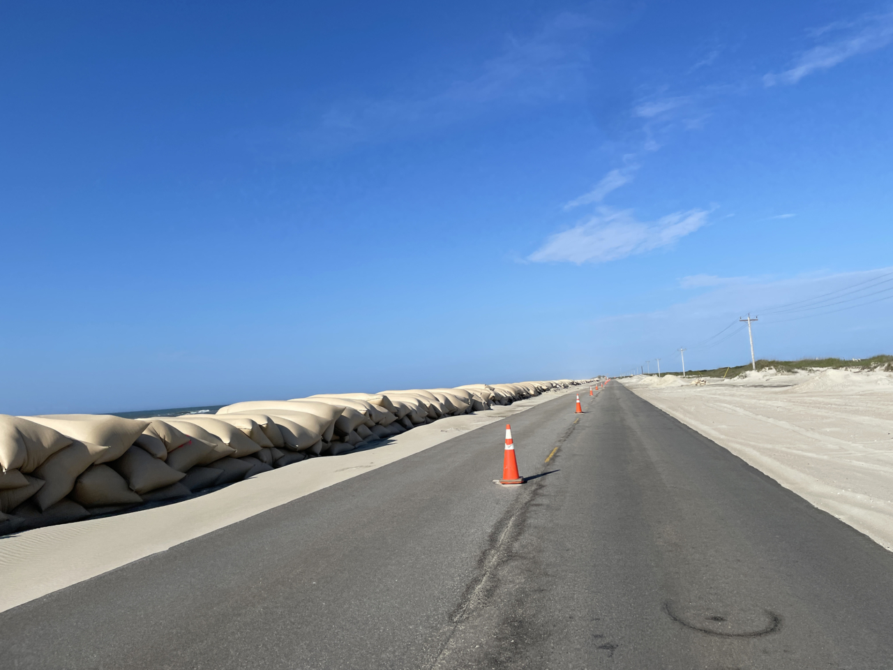
Coastal communities are already feeling the negative effects of changing conditions with severe storm impacts becoming more extreme and coastal erosion hotspots becoming more difficult to address in recent years. Climate change will continue to amplify these challenges by increasing hurricane longevity, intensity, and rainfall. Meanwhile, chronic hazards, including high-tide flooding and shoreline erosion will only worsen in the future, with at least one foot of sea-level rise expected to occur by 2050. The long-term habitability, accessibility, and utility of barrier islands in NC and beyond will depend on the management strategies that are selected and implemented in the next few years.
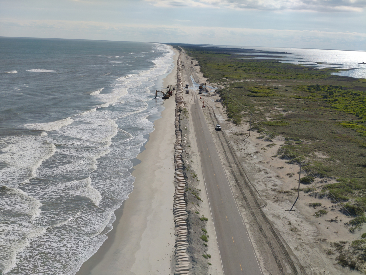
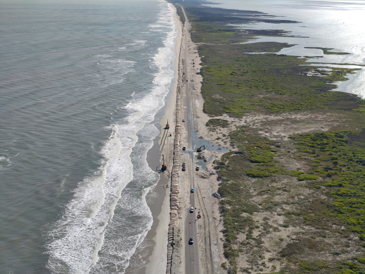
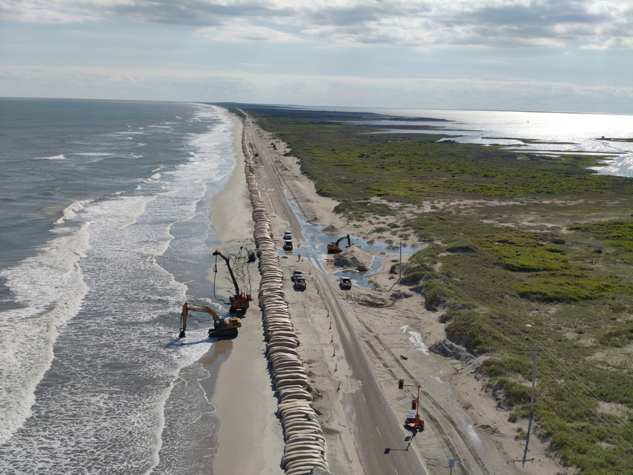
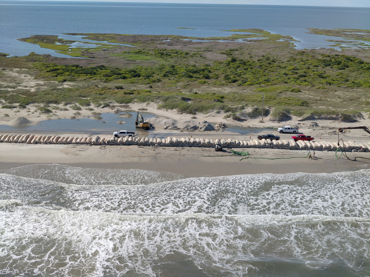
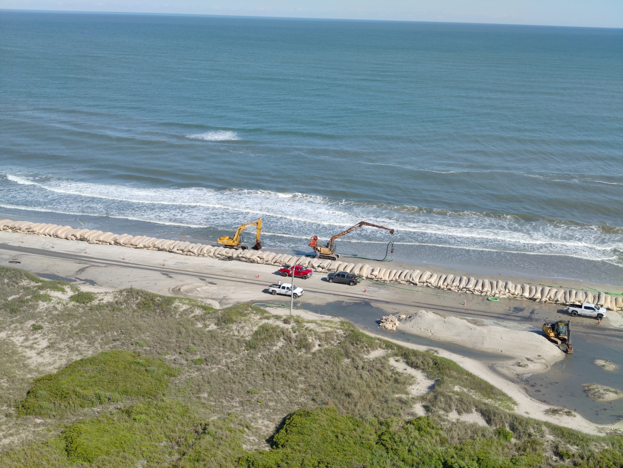
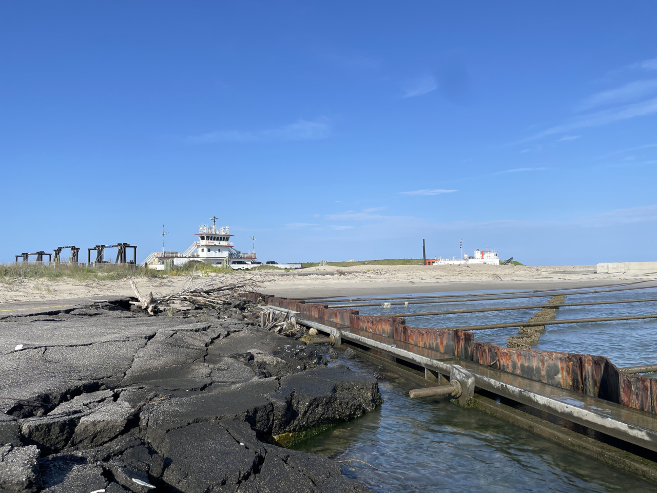
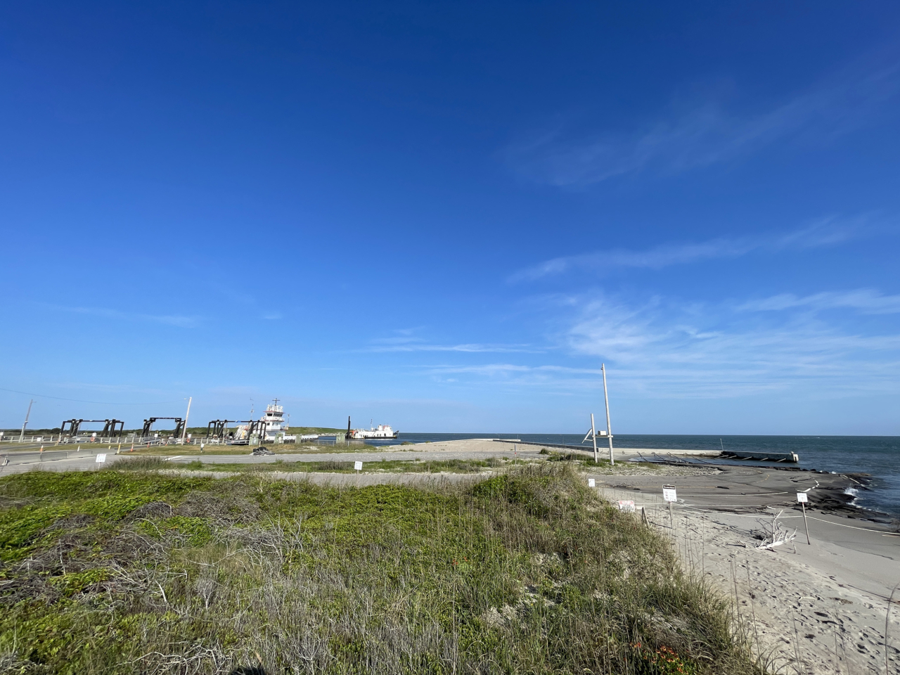
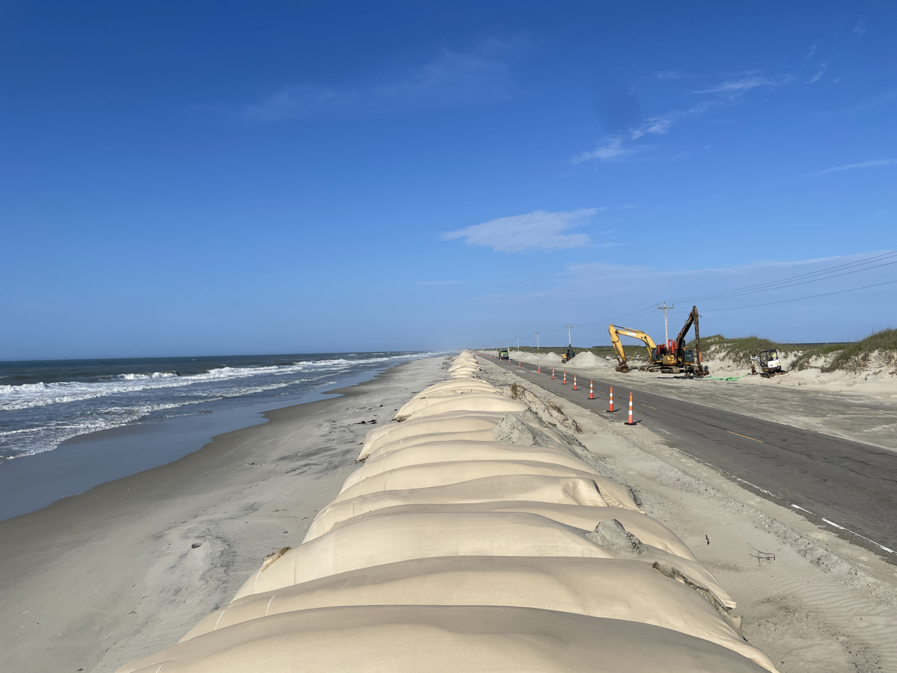
The east end of Ocracoke Island may illustrate the tradeoffs between short-term benefits and long-term outcomes; the strategies that have been used effectively for decades to maintain N.C. Highway 12 (NC 12) may have inadvertently contributed to the low elevations and narrow island widths that currently complicate road and ferry terminal maintenance.
With a range of mitigation and adaptation plans currently under consideration by stakeholders, this project aims to evaluate the long-term consequences of different potential management actions on the long-term (25 – 100-year) evolution of Ocracoke Island under a range of different climate scenarios. A project team with representatives from Cape Hatteras National Seashore, the North Carolina Department of Transportation, and Hyde County, as well as researchers who are experts in coastal and social science, will incorporate community perspectives and feedback to co-create model scenarios and materials that will facilitate community conversations about the best possible ways forward.


WRAL:
Coastal Review:
Ocracoke Observer:
Island Free Press:
Outer Banks Voice:
Press Release:
From 2024:
Photos © National Park Service
Become a participant by joining the C-CoAST Network.

